
// AUTONOMOUS & SWARM DRONES
Long Range Drone Navigation System: Beyond the Radio Link
A long range drone navigation system does more than keep an aircraft pointed toward a distant waypoint. It estimates position, manages uncertainty, guides the flight path, and handles degraded signals without exhausting the energy needed to return. For buyers comparing autonomous aircraft or swarm platforms, the useful question is not simply how far it flies: it is how reliably it knows where it is.
Start by separating navigation, communications, and endurance. A powerful radio does not improve position accuracy, and accurate satellite positioning does not guarantee a safe route. The strongest architectures connect these capabilities through mission software, onboard sensing, and explicit responses to failures. That distinction matters for inspection drones today and the personal aviation concepts explored by WOWLS! Aerospace.

Inside a long range drone navigation system
Most outdoor systems combine a global navigation satellite system receiver with an inertial measurement unit, barometric altitude sensing, and a flight computer. Sensor fusion reconciles those inputs into an estimate of position, velocity, and attitude. Satellite updates constrain inertial drift; inertial measurements bridge the gaps between updates. Antenna placement, vibration isolation, timing, and calibration can matter as much as the component specifications.
For higher precision, correction services or a local reference station can improve satellite positioning when reception and correction delivery remain usable. That is not the same as resilience against jamming or spoofing. Buyers should ask how the aircraft detects inconsistent measurements, rejects suspect inputs, and reports growing uncertainty to its mission planner.
Beyond Satellite Coverage: Navigation That Degrades Gracefully
Visual-inertial odometry estimates motion from cameras and inertial sensors. Terrain-relative navigation compares observed ground features with reference data. Radar or lidar can support obstacle sensing and localization in suitable environments. None is a universal substitute for satellite navigation: darkness, glare, cloud, repetitive terrain, sensor range, and outdated maps each introduce limits.
The commercial differentiator is graceful degradation. When confidence falls, does the aircraft reduce speed, change altitude where permitted, divert, or land at a designated location? A return-to-home command is not enough if the position estimate itself is compromised. Ask for flight evidence across representative terrain and conditions, with navigation errors and intervention events documented—not just a successful demonstration video.
Long Range Is an Energy and Communications Problem, Too
Fixed-wing aircraft generally suit distance-oriented missions, while multirotors excel at hovering and close inspection. Hybrid VTOL platforms combine vertical access with wingborne cruise, but introduce transition-control and mechanical complexity. Compare usable payload, wind tolerance, reserve policy, and diversion options rather than relying on a maximum-range headline measured under favorable conditions.
Command-and-control links need their own coverage and failure analysis. Terrain can block radio paths, cellular service can disappear, and satellite connectivity adds equipment and operating. Onboard autonomy should execute predefined lost-link behavior without depending on continuous remote computation. Navigation capability also does not itself authorize beyond-visual-line-of-sight operations; permissions and operating requirements depend on the jurisdiction and mission.
Swarm Autonomy Needs More Than Shared Waypoints
A swarm must coordinate aircraft while each vehicle maintains its own safe flight capability. That requires consistent reference frames, time synchronization, separation logic, and rules for joining or leaving the group. Formation control and collaborative mapping are different jobs; buying a platform that supports one does not establish that it can perform the other.
Ask what happens when messages arrive late, a leader drops out, or one aircraft reports an unreliable position. Centralized planning can simplify coordination but creates dependencies. Distributed approaches can reduce those dependencies while increasing software and verification complexity. Demand an explanation of local collision avoidance, network partition behavior, and how an operator pauses or terminates the mission.
Budget for Integration—and Keep the Aerospace Vision Grounded
Typical commercial navigation hardware can range from hundreds of dollars for basic autopilot and satellite-positioning components to thousands or tens of thousands for higher-grade inertial sensing and resilient integrated systems. These are broad industry ranges, not WOWLS! prices. Software, payload integration, connectivity, testing, maintenance, and operational approvals can materially change the total. Request a mission-specific proposal with acceptance criteria.
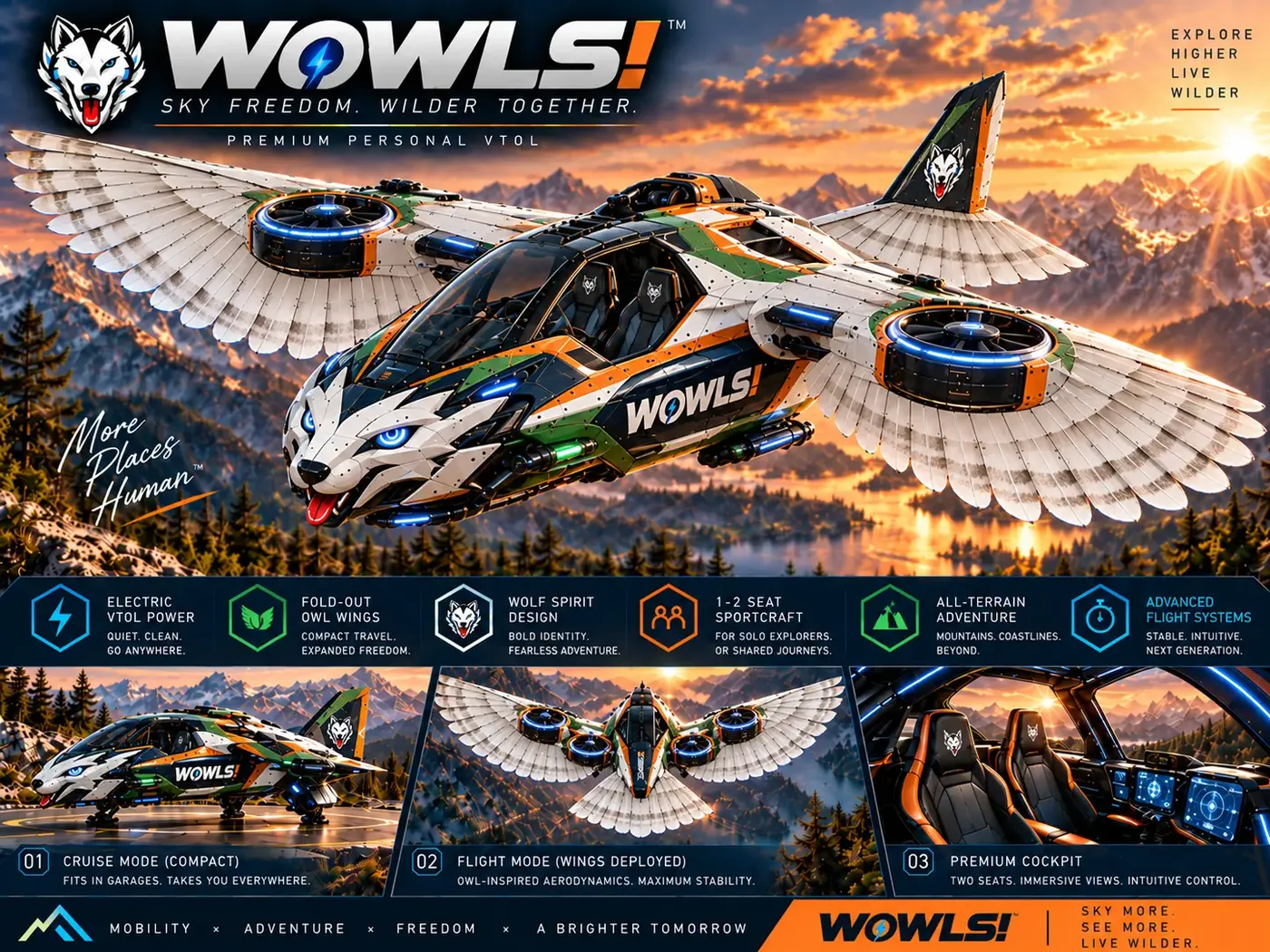
WOWLS! Aerospace brings a future-facing perspective through the Tumen-Class Interceptor VTOL concept: a proposed SI-assisted personal aircraft with a pilot position and two rear seats. It is not a purchasable drone navigation system or a built, certified aircraft. Explore /aero and /vtol for the concept, then register interest through /contact. Keep procurement decisions anchored to demonstrated capabilities while using the concept to explore a broader sovereign travel ecosystem.
How do I choose a long range drone navigation system?
Define the mission first: distance, payload, terrain, weather, positioning accuracy, and permitted operating area. Then compare sensor fusion, degraded-signal navigation, lost-link behavior, energy reserves, and evidence from representative flights. For swarms, add synchronization, separation, and network-failure handling. Request an integrated cost covering hardware, software, communications, testing, and support. Maximum range alone is a poor buying criterion; the stronger choice is the system that can detect uncertainty and respond safely within your operating requirements.