
// AUTONOMOUS & SWARM DRONES
Industrial Drone Navigation System: Autonomy That Works
An industrial drone navigation system turns sensor readings into a reliable answer to three questions: where am I, where can I go, and how do I get there safely? For buyers comparing inspection, mapping or autonomous fleet platforms, the decisive feature is not an impressive flight demonstration. It is repeatable performance around steel structures, moving equipment, poor visibility and unreliable satellite signals.
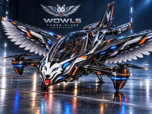
Navigation also underpins the bigger aerospace ambition: aircraft that can interpret their surroundings and respond intelligently. WOWLS! explores that frontier through its proposed Tumen-Class Interceptor VTOL. But selecting an industrial drone system starts closer to the ground—with the operating environment, payload and consequences of a positioning error.
Inside an Industrial Drone Navigation System
Navigation is a stack, not a single sensor. Satellite positioning supplies an outdoor reference; an inertial measurement unit tracks acceleration and rotation; cameras, lidar or radar add environmental information. Sensor-fusion software combines these inputs into an estimated position, orientation and velocity. Guidance and planning software then selects a route, while the flight controller translates that route into motor commands.
Ask vendors which parts they actually supply. A positioning module does not necessarily include obstacle avoidance, mission planning or fleet management. Request interfaces, update rates, latency limits and behavior during sensor loss. A precise position estimate arriving too late can be less useful than a slightly noisier estimate delivered consistently.
Match the Sensors to the Site
Open-air surveying often benefits from multi-frequency satellite receivers and real-time kinematic positioning, or RTK, which can support centimeter-level positioning under suitable conditions. That does not guarantee centimeter-level maps: camera calibration, timing, ground control and processing still matter. Near buildings or cranes, reflected satellite signals can corrupt the position estimate.
Inside warehouses, tunnels or industrial plants, visual-inertial odometry and simultaneous localization and mapping, or SLAM, become more important. Cameras struggle with darkness, glare and textureless surfaces; lidar can be challenged by dust, glass and repetitive geometry. Radar can complement optical sensors in some degraded conditions, but brings its own resolution and integration trade-offs. Demand testing in the actual environment.
Swarm Navigation Is More Than Shared Waypoints
A fleet dashboard scheduling independent flights is not the same as a coordinated swarm. Multiple aircraft sharing airspace need compatible timing, relative-position awareness, conflict avoidance and clear priorities when paths intersect. Depending on the architecture, coordination may run centrally, onboard each aircraft or through a hybrid arrangement.
Communications become part of the navigation problem. Ask what happens when bandwidth drops, messages arrive late or one drone loses its position reference. Each aircraft needs a defined degraded mode that does not depend on perfect connectivity. In a confined facility, automatically climbing or returning directly home may create a new hazard rather than resolve one.
Budget for Integration, Not Just Hardware
As broad industry budgeting ranges, basic navigation components can run from hundreds to a few thousand dollars; integrated perception and onboard-computing packages can reach several thousand to tens of thousands. These are typical component and package ranges, not WOWLS! prices. Aircraft, specialist payloads, software subscriptions and engineering services can materially increase the total.
Compare complete deployment proposals: sensor calibration, mounting, power consumption, software integration, mapping, operator training and ongoing support. Extra processing hardware costs endurance as well as money. A practical procurement route is a paid site trial with agreed acceptance criteria for position accuracy, mission completion, intervention frequency and safe behavior after a simulated failure.
From Industrial Autonomy to the WOWLS! Aerospace Vision
The same disciplines—robust localization, redundant sensing and controlled responses to uncertainty—matter when autonomy moves toward personal aviation. They do not transfer automatically. Passenger-carrying VTOL aircraft face substantially different engineering, operational and certification demands, while hypersonic flight introduces another set of sensing, communications and thermal constraints.
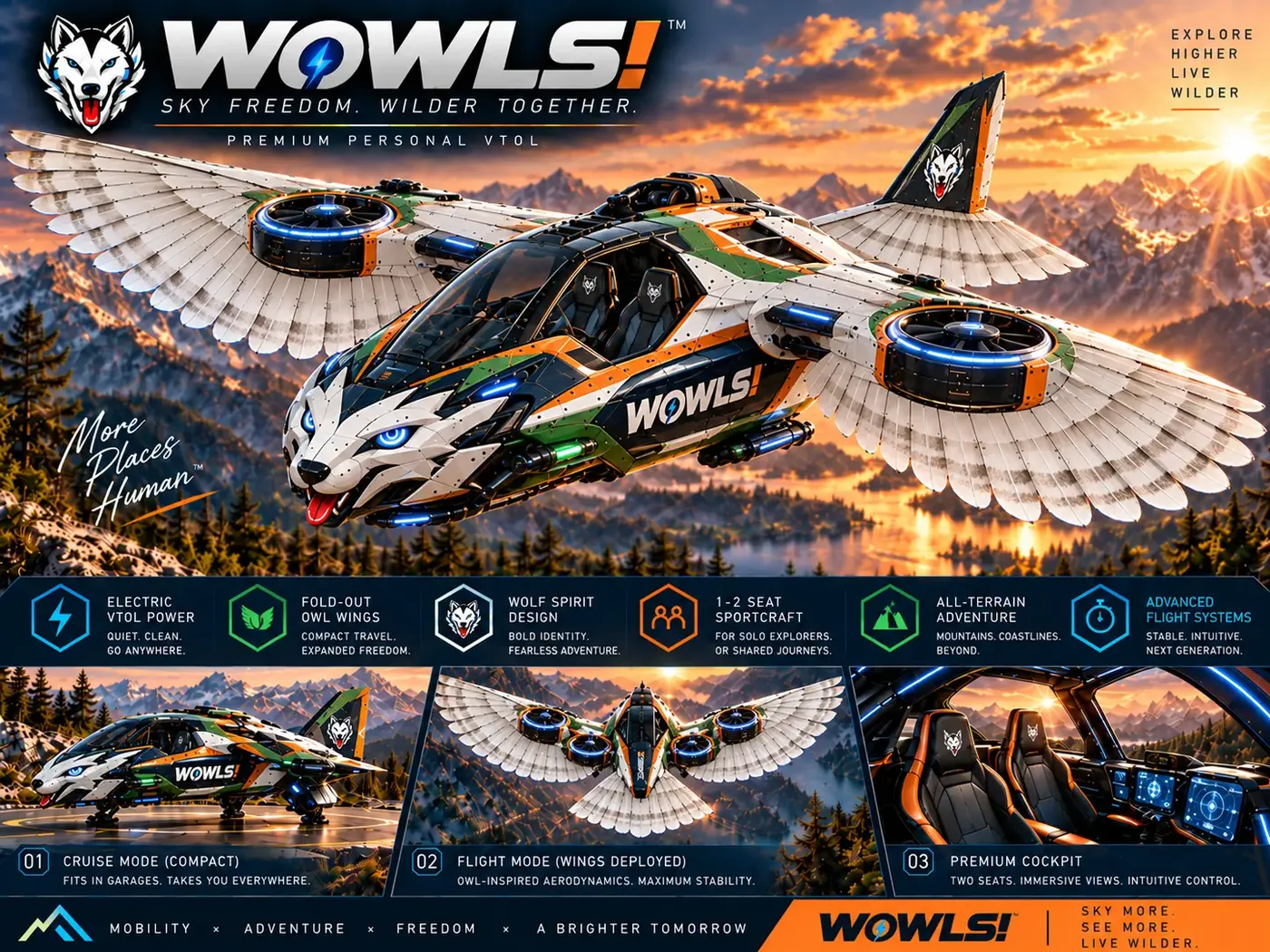
WOWLS! Aerospace presents the Tumen-Class Interceptor VTOL as a personal SI-assisted, or SuperIntelligence-assisted, aircraft concept with a pilot position and two rear seats. It belongs to a proposed Sovereign Travel & Housing Ecosystem, not an available flight service or certified aircraft offering. Explore the concept through Aerospace and VTOL, then register interest or discuss potential collaboration through Contact.
How do I choose an industrial drone navigation system for GPS-denied operations?
Start with the environment rather than a sensor specification. Document lighting, dust, reflective surfaces, passage widths and communications coverage. Then compare visual-inertial, lidar-based or hybrid navigation using a representative site trial. Require evidence of localization recovery, obstacle handling and safe behavior when sensors or communications fail. Confirm compatibility with your flight controller, payload and onboard power budget. Finally, price the complete deployment—including mapping, integration, software and support—not just the navigation module.