
// AUTONOMOUS & SWARM DRONES
Heavy Lift Drone Navigation System: Precision Under Payload
A heavy lift drone navigation system earns its keep when the aircraft is loaded, the wind shifts, and the landing zone stops looking like the map. For commercial buyers, the question is not simply whether a drone can follow waypoints. It is whether the complete navigation stack can maintain usable positioning, respect payload-dependent limits, and recover predictably when sensors or communications degrade.
That requires more than a satellite receiver and an AI label. Heavy-lift navigation connects state estimation, obstacle sensing, flight planning, and flight control. Choosing well starts with the mission: lifting equipment onto a roof, carrying supplies across remote terrain, and coordinating multiple aircraft create different demands on accuracy, endurance, supervision, and ground infrastructure.

Inside a Heavy Lift Drone Navigation System
The core is a state estimator: software that combines measurements to estimate position, velocity, and attitude. Satellite navigation supplies an absolute reference; inertial sensors track rapid motion; barometers help estimate altitude. Depending on the environment, cameras, lidar, or radar can add relative positioning, obstacle detection, or height measurements near the ground.
Real-time kinematic positioning, or RTK, can deliver centimeter-level positioning under suitable conditions, but that does not guarantee centimeter-level placement of a suspended load. Correction availability, satellite visibility, vibration, control response, and load swing all matter. Ask vendors to separate receiver accuracy from demonstrated aircraft tracking and payload-placement performance.

The Payload Changes the Flight Plan
An unloaded demonstration tells you little about a demanding lift. Payload mass and center of gravity affect handling, while suspended cargo introduces pendulum motion. A useful system accounts for the permitted loading envelope and adjusts acceleration, braking, turns, and approach profiles accordingly. Some missions also need dedicated load sensing or swing suppression rather than aircraft positioning alone.
Route planning should reserve energy for contingencies, not merely calculate the shortest path. A headwind, missed approach, or unavailable landing zone can consume the margin that looked generous at departure. Request loaded demonstrations with representative cargo geometry, realistic wind limits, and an alternate landing site. Performance claims should identify the payload, route, and environmental conditions behind them.
Resilience Without the Autonomy Theater
Redundancy is valuable only when the aircraft can detect disagreement and respond correctly. Two receivers sharing the same interference exposure are not independent protection against every failure. Examine sensor diversity, fault detection, power architecture, and the response to lost corrections, unreliable satellite positioning, obstructed cameras, or a broken command link.
AI-based perception can help recognize obstacles and landing areas, but buyers should ask where it has been tested and what happens outside that envelope. Rain, glare, dust, sparse visual texture, and moving equipment can challenge different sensors. The strongest commercial proposition is bounded autonomy with explicit operator authority, clear abort logic, and recorded evidence—not an unexplained promise of intelligence.
From One Aircraft to a Coordinated Fleet
Fleet scheduling and swarm autonomy are different capabilities. Assigning separate routes to several drones does not establish that they can cooperate safely in close proximity. Coordinated operations need shared timing, traffic deconfliction, communication-loss behavior, and separation rules that account for braking distance, positioning uncertainty, and rotor downwash.
For procurement, price the operational stack rather than the navigation module alone: correction services or base infrastructure, companion computing, sensors, integration, testing, software support, and operator training. Costs vary substantially with airframe and assurance requirements. Require a defined acceptance test and access to flight logs; otherwise, an inexpensive component can become an expensive integration project.
Where WOWLS! Aerospace Fits
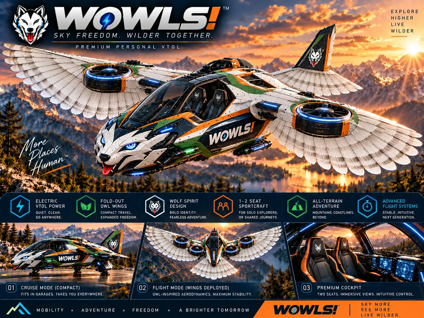
WOWLS! approaches future aviation through its Tumen-Class Interceptor VTOL concept: a proposed personal SI-assisted aircraft seating a pilot and two passengers, within a broader Sovereign Travel & Housing Ecosystem. It is not an available heavy-lift drone navigation product. Its relevance is the design ambition: intelligent assistance must connect navigation, usable interfaces, and mission planning rather than exist as an isolated feature.
Explore WOWLS! Aerospace for that vision, then use the navigation principles above to interrogate any commercial supplier. Readers interested in the Tumen-Class concept can register interest through WOWLS! Contact. For aerospace collaborators, the useful conversation starts with a defined mission, integration scope, and evidence needed to move from concept toward demonstrated capability.
What should I prioritize when buying a heavy lift drone navigation system?
Prioritize demonstrated performance with your actual payload and operating environment. Look for reliable sensor fusion, payload-aware planning, obstacle sensing suited to the site, and predictable behavior after positioning or communication failures. RTK accuracy alone is insufficient: aircraft tracking, load swing, landing precision, and energy reserves determine mission usefulness. Ask for representative loaded flights, inspectable logs, integration responsibilities, and a full operating-cost proposal. For multi-aircraft operations, verify deconfliction and communication-loss procedures separately from ordinary waypoint navigation.