
// AUTONOMOUS & SWARM DRONES
Delivery Drone Navigation System: A Buyer's Briefing
A delivery drone navigation system does more than steer an aircraft toward an address. It must establish position, choose a safe route, respond to changing conditions, and deliver the payload without exposing people or property to unacceptable risk. For commercial buyers, the distinction is between a drone that follows waypoints and an operation that can handle uncertainty.
Start with the mission, not the autonomy pitch. A rural medical delivery route, a warehouse-to-campus shuttle, and a dense urban doorstep service present different navigation problems. Payload, flight distance, landing method, communications coverage, and operating permissions determine which sensors and software are worth paying for—and which features merely decorate a proposal.

Inside a Delivery Drone Navigation System
The core stack combines localization, perception, planning, and flight control. Localization estimates position and orientation using satellite navigation, inertial sensors, and often cameras or other sensors. Perception identifies obstacles and usable landing areas. Planning selects a route or avoidance maneuver; flight control translates that decision into stable aircraft motion.
Satellite positioning alone is not enough around buildings, under structures, or near sources of interference. Correction services can improve positioning in suitable conditions, while visual-inertial navigation can help bridge degraded satellite reception. Neither eliminates uncertainty. Ask how the aircraft detects an unreliable position estimate and whether it slows, holds, diverts, or lands when confidence falls.
The Last Few Meters Decide the Delivery
Cruising between coordinates is often easier than completing the handoff. A delivery address does not identify a safe touchdown point. The system may need to distinguish a designated pad from a parked vehicle, detect a person entering the drop zone, and account for rotor wash, slopes, cables, and moving vegetation.
Landing, tether lowering, and controlled package release demand different capabilities. A marked pad simplifies recognition but requires prepared infrastructure. Tether delivery avoids touchdown yet introduces suspended-load motion and snag risks. Ask vendors to demonstrate the actual delivery method with representative payloads, lighting, wind, and ground activity—not just an empty aircraft approaching a clear field.
Fleet Coordination Is Not Swarm Magic
Commercial fleets usually need disciplined coordination before they need elaborate swarm behavior. Fleet software assigns jobs, manages charging availability, reserves routes or arrival windows, and prevents several aircraft from converging on one destination. Onboard navigation still needs to protect each aircraft when connectivity drops.
Separate centralized scheduling from local collision avoidance. Ask where decisions happen, how frequently information updates, and what stale data triggers. Communications loss should produce a defined contingency rather than an improvised response. Buyers should also distinguish a rehearsed multi-aircraft demonstration from evidence that the system can sustain their intended operating tempo.
Buy the Operating Capability, Not Just the Autopilot
Navigation cost extends beyond the flight controller. Depending on the architecture, a proposal can include cameras, ranging sensors, onboard computing, positioning corrections, mapping, fleet subscriptions, integration, and validation. A sensor-module quote is not a deployed-system price. Request separate figures for aircraft hardware, recurring software, field support, and site preparation so competing offers become comparable.
Build acceptance testing around your route. Useful measures include delivery completion, position confidence near the destination, diversion frequency, energy remaining after contingencies, and operator interventions. Ask who owns flight logs and whether they can be exported. Before committing, establish which operating approvals are required in your jurisdiction; navigation capability alone does not authorize beyond-visual-line-of-sight service.
Where WOWLS Aerospace Enters the Conversation
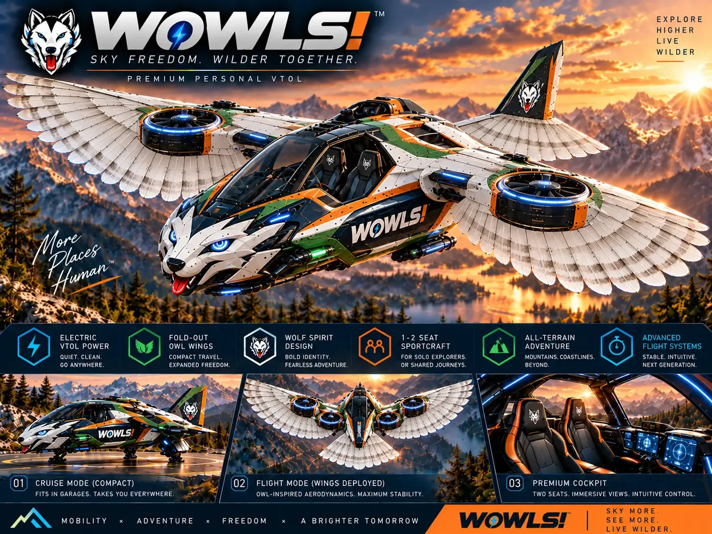
WOWLS approaches autonomous aerospace through its proposed Tumen-Class Interceptor VTOL: a personal SI-assisted aircraft concept seating a pilot and two passengers. It is not a delivery drone navigation product or a certified aircraft. Its relevance is the broader design challenge: integrating assistance, mission planning, and human oversight into an aircraft people can understand.
Explore /aero for that aerospace vision and /vtol for the Tumen-Class concept. The proposed Character Universe offers another entry point through collectible companions paired with biomimetic ornithopter STEM drone concepts focused on aerodynamics and robotics—not commercial delivery. Register interest through /contact. For delivery procurement today, prioritize demonstrable navigation performance, integration access, and a credible operating pathway over speculative capabilities.
What should I look for in a delivery drone navigation system?
Look for reliable localization, obstacle detection suited to your environment, precise delivery-zone recognition, and defined responses to lost communications or degraded positioning. Match the system to your payload, route, weather limits, and handoff method. Request demonstrations on representative missions, access to flight logs, and an itemized ownership-cost proposal covering software and support. For multiple aircraft, assess fleet scheduling separately from onboard collision avoidance. Finally, confirm the approval pathway for your intended operation; capable navigation does not by itself make a delivery service legally deployable.