
// AUTONOMOUS & SWARM DRONES
Delivery Drone Computer Vision: From Detection to Deployment
A delivery drone can know its coordinates and still misunderstand its surroundings. That gap is where delivery drone computer vision earns its place: identifying obstacles, assessing drop zones and helping an aircraft navigate when satellite positioning alone is insufficient. For commercial buyers, the important question is not whether a drone has AI. It is whether its perception system supports reliable decisions across the intended route, payload and operating conditions.
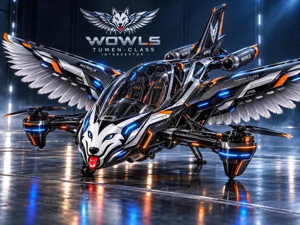
The strongest systems combine cameras, onboard processing and other sensors rather than treating vision as an all-seeing autopilot. That distinction also matters when looking toward personal aircraft. WOWLS! Aerospace explores that broader horizon through its proposed Tumen-Class Interceptor VTOL, while delivery operations offer a practical lens for understanding what machine perception must actually accomplish.
How delivery drone computer vision supports a mission
Computer vision turns images into usable information: a person near a delivery pad, a vehicle crossing an approach path or features that help estimate aircraft motion. Object detection labels things; segmentation separates surfaces and boundaries; visual odometry estimates movement between frames. Combined with inertial measurements, those observations can help stabilize navigation when positioning signals become unreliable.
Perception does not directly equal permission to move. A planning system must translate observations into actions, and the flight controller must execute them within aircraft limits. Commercial demonstrations should show that entire chain: detecting an occupied drop zone, rejecting the approach and selecting a defined fallback—not simply drawing accurate boxes around objects on a screen.
The Last Metres Are the Hardest
Cruising above a mapped corridor and approaching a doorstep are different problems. Near the ground, cables, branches, pets, uneven surfaces and moving people compress the available reaction time. A useful landing-zone model considers clearance, surface geometry and changes during descent. Package lowering introduces another challenge: checking the delivery area while managing a suspended load.
Camera selection follows the environment. Stereo cameras estimate depth through overlapping views, but performance depends on texture, lighting and distance. Thermal imaging can add information in darkness without making every obstacle visible. Glare, rain, dirty lenses and motion blur all deserve testing. Sensor fusion with radar or lidar may improve coverage, but adds weight, power demand and integration work.
Buying Capability, Not an AI Label
Start with a narrow operational brief: route length, payload, delivery method, weather limits and acceptable abort behaviour. Then ask suppliers for results under comparable conditions. Relevant measures include missed-obstacle rates, false alarms, processing latency and positioning drift. An impressive detection score on a curated image dataset says little about performance during a vibrating, backlit descent.
Typical industry budgets for cameras and onboard computing can run from hundreds to several thousand dollars per aircraft; custom integration and flight validation can reach tens of thousands or more. These are planning ranges, not WOWLS quotes. Hardware is only part of ownership cost: include data labelling, software maintenance, sensor replacement, operator training and the approvals required for the intended operation.
Autonomous Fleets Need More Than Shared Images
A delivery fleet is not automatically a swarm. Centrally assigning routes to independent aircraft differs from cooperative flight in which vehicles actively coordinate their movements. Vision can support local separation and relative positioning, but fleet operations also need dependable communications, scheduling and conflict-resolution rules. Each aircraft needs a safe response when connectivity disappears.
Processing images onboard can reduce communications demand and response delays. Sending selected events to a fleet platform supports review without continuously streaming every camera. Buyers should establish retention and access rules for imagery captured near homes, and ask how updates are validated before fleet-wide deployment. A model improvement on one route can introduce unexpected behaviour elsewhere.
Where WOWLS Aerospace Fits
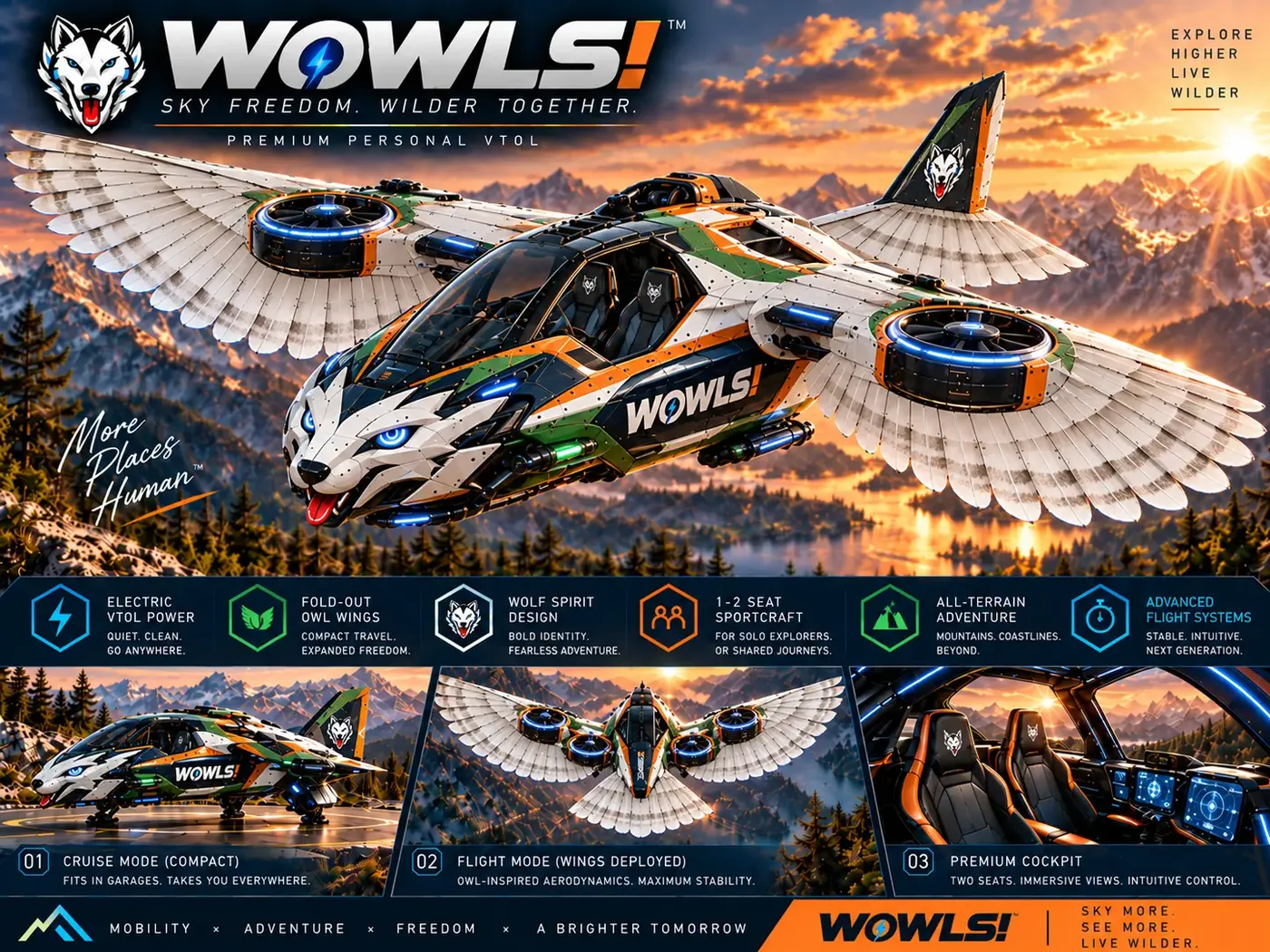
WOWLS! positions the Tumen-Class Interceptor VTOL as a personal SI-assisted—SuperIntelligence-assisted—aircraft concept with a pilot position and two rear seats. Its proposed role belongs to a Sovereign Travel & Housing Ecosystem, not an operating delivery service. The connection is architectural: increasingly capable aircraft need perception, decision-making and human oversight designed together rather than assembled around an AI slogan.
Explore /aero for that vision and /vtol for the related aircraft concept. The WOWLS Character Universe also proposes biomimetic ornithopter STEM drones paired with plush companions, connecting flight curiosity with aerodynamics and robotics. These aircraft and STEM drone concepts are opportunities to register interest through /contact, not built or certified machines available to deploy.
Can computer vision replace GPS in delivery drones?
Computer vision can supplement satellite positioning and support navigation during some signal interruptions, but it is not a universal replacement. Visual-inertial systems estimate movement using camera images and inertial measurements; their reliability depends on lighting, visible features, calibration and processing performance. Featureless surfaces, darkness or obscured lenses can degrade results. Commercial delivery systems generally benefit from complementary positioning sources and explicit fallback behaviour. Ask suppliers how long their aircraft can maintain acceptable navigation accuracy without satellite positioning, and under which tested conditions.