
// AUTONOMOUS & SWARM DRONES
Cargo Drone Navigation System: Sensors, Autonomy and Cost
A cargo drone navigation system does more than draw a route between two coordinates. It estimates where the aircraft is, determines whether its planned path remains safe and feeds guidance commands to the flight controller. For buyers, the real question is not whether a drone can follow waypoints—it is whether it can deliver a payload predictably when wind, positioning errors, obstacles and communications failures complicate the mission.
Start with the delivery environment. A short hop between controlled industrial sites needs a different architecture from a mountain supply route or an urban delivery network. Payload, landing precision, airspace access and acceptable interruption rates shape the specification. Buy navigation against a defined operating envelope, not an impressive autonomy label.

Inside a Cargo Drone Navigation System
Navigation usually combines satellite positioning, an inertial measurement unit and altitude sensing. Satellite signals provide an absolute position reference; accelerometers and gyroscopes track motion between updates. A barometer supports altitude estimation, while radar or laser ranging can measure height above the surface. Sensor-fusion software reconciles these inputs and estimates uncertainty rather than treating every measurement as equally trustworthy.
Guidance then converts a route into speed, heading and altitude targets, while the flight controller stabilizes the aircraft. That separation matters commercially: replacing a positioning receiver does not automatically improve obstacle avoidance or landing behavior. Ask suppliers which functions their package actually includes, which depend on other onboard computers and how faults propagate across those boundaries.
Precision Where the Payload Touches Down
Correction-enabled satellite positioning can support centimeter-level accuracy under suitable conditions, but it is not a universal landing solution. Buildings, terrain and signal reflections can degrade performance. Cameras, lidar, radar and mapped landing markers provide additional references; their usefulness depends on lighting, weather, surface texture and installation geometry.
Evaluate performance at the delivery point, not just along the cruise route. A package placed on a marked pad demands different sensing from a suspended load lowered beside vegetation. Payload movement and changing aircraft mass also affect control. Request landing-error distributions, aborted-approach behavior and evidence from representative payloads—not a single successful demonstration in calm weather.
Autonomy Needs a Safe Exit Strategy
A credible system handles degraded navigation deliberately. If satellite positioning becomes unreliable, can it continue using visual or terrain references, retreat along a validated corridor or reach a designated landing site? Inertial navigation alone accumulates error over time. The supplier should explain how the aircraft recognizes uncertainty and when that uncertainty triggers a mission change.
Communications loss needs its own logic. Returning directly to the launch point may be unsafe if weather has shifted or the aircraft lacks energy to complete the climb. Strong architectures combine onboard decision-making, geofencing, reserve-energy planning and predefined contingencies. Beyond-visual-line-of-sight operations also depend on jurisdiction-specific authorization and operational arrangements; navigation capability alone does not grant permission to fly.
Fleet Coordination Is Not Automatically a Swarm
Many cargo networks need fleet orchestration rather than tightly coupled swarm flight. A central service can allocate jobs, reserve landing windows and separate routes while each aircraft retains local safety functions. True cooperative behavior adds inter-aircraft communications, shared state estimation and conflict-resolution rules—along with more failure modes to validate.
For commercial procurement, prioritize predictable separation and recovery over theatrical formation flying. Ask how stale position reports are detected, whether congestion changes energy reserves and what happens when two aircraft approach the same delivery site. Cloud optimization can improve utilization, but immediate collision avoidance should not depend on an uninterrupted connection to a remote server.
Budget for Integration, Then Look Toward Personal Flight
Typical industry budgeting spans hundreds to low thousands of dollars for basic positioning and inertial components, and several thousand to tens of thousands for integrated perception and onboard computing packages. These are broad component-level ranges, not complete aircraft quotes. Redundancy, environmental qualification, software integration, mapping, testing and regulatory work can outweigh the initial hardware bill.
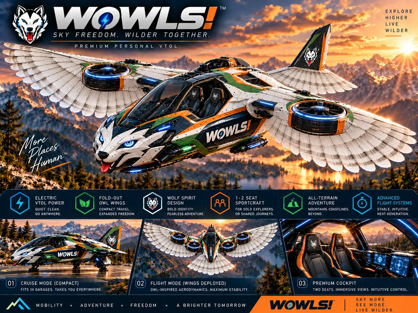
WOWLS approaches this wider autonomy frontier through its Tumen-Class Interceptor VTOL concept: a proposed SI-assisted personal aircraft with a pilot position and two rear seats. It is not an available cargo drone navigation product or a built, certified aircraft. Explore the aerospace vision at /aero, review the VTOL concept at /vtol and register interest through /contact. The useful connection is mission-led design: propulsion, navigation, energy reserves and human oversight must work as one system.
How do I choose a cargo drone navigation system?
Define your payload, route length, delivery-site geometry and operating conditions first. Then compare positioning accuracy, obstacle sensing, degraded-signal behavior and lost-link procedures against that mission. Request flight evidence with representative loads and environments, plus clear integration requirements for your flight controller and fleet software. Compare total deployment costs rather than sensor prices alone, including testing, maintenance and permissions. For multi-aircraft operations, reliable traffic separation and landing-slot coordination usually matter more than a supplier’s use of the word “swarm.”