
// AUTONOMOUS & SWARM DRONES
Autonomous UAV Navigation System Engineering and Future Flight
Deploying a modern autonomous uav navigation system requires moving past the fragile assumption of uninterrupted satellite signals. Modern uncrewed aerial vehicles encounter dense urban canyons, physical interference, and actively contested spectrums where traditional global positioning fails. True operational autonomy demands edge-compute visual-inertial odometry, simultaneous localization and mapping (SLAM), and optical flow algorithms running locally on hardened processors to maintain precise three-dimensional state estimation in real time.
The stakes across commercial airspace and defense logistics are unprecedented. Morgan Stanley estimates the eVTOL and autonomous drone market could surge toward a $9 trillion total addressable market by 2050. Achieving that scale demands intelligent, uncompromised navigation architectures capable of real-time route replanning, peer-to-peer mesh coordination, and fault-tolerant attitude control without human intervention.
Sensors Driving an Autonomous UAV Navigation System
Building a resilient autonomous uav navigation system involves balancing payload capacity, thermal dissipation, and SWaP-C (size, weight, power, and cost). Enterprise and defense integrators typically budget between and per airframe for commercial-to-tactical inertial navigation payloads. Stacking solid-state LiDAR, stereo vision suites, and micro-electro-mechanical systems (MEMS) gyroscopes allows systems to calculate velocity and drift vectors directly from physical terrain markers rather than orbital pings.
The primary pitfall in uncrewed navigation is sensor saturation under rapid dynamic maneuvers or adverse weather. Dust, heavy rain, and rotor wash degrade optical lenses, demanding multi-spectral fusion where thermal imagery and micro-radar validate visual odometry. Platforms that rely solely on single-modality sensors risk catastrophic spatial disorientation during aggressive low-altitude dashes or transition phases.
Biomimetic Guidance and Flapping-Wing Agility
While rigid multirotors dominate commercial mapping, specialized operations in confined air corridors are pivoting toward bio-inspired architectures. Biomimetic flapping-wing systems demonstrate unmatched maneuverability and lower acoustic profiles than high-RPM propeller discs. Flapping flight generates lift and thrust simultaneously, navigating tight interiors and turbulent tree lines with agile, bird-like adjustments.
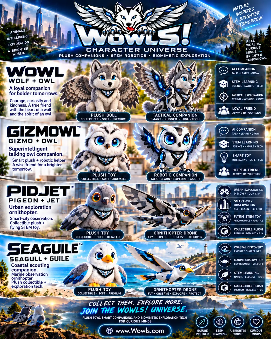
WOWLS explores this frontier through its Character Universe STEM line, pairing collectible plush companions with biomimetic ornithopter drones like GIZMOWL and PIDJET. Designed to teach hands-on robotics and aerodynamics, these flapping-wing platforms prove that nature's flight mechanics yield exceptional spatial agility in tight quarters where conventional quadrotors falter.
SuperIntelligence in Scaled Aerial Interception
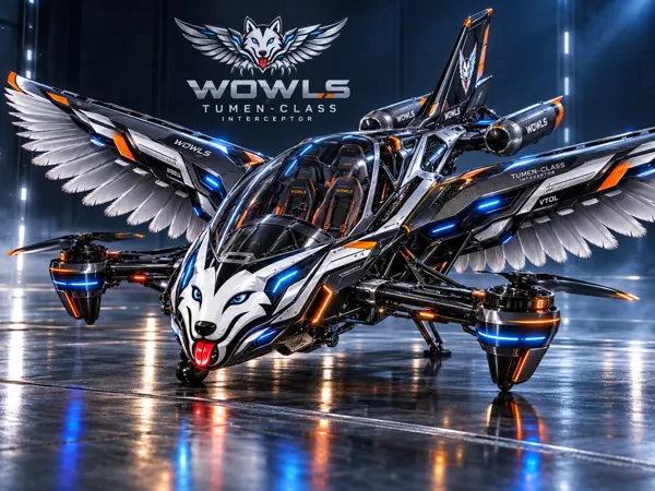
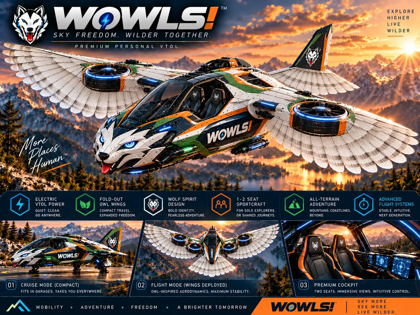
At the heavy-payload tier of the sovereign travel ecosystem, spatial autonomy scales to passenger and expedition craft. The conceptual Tumen-Class Interceptor VTOL integrates SuperIntelligence flight assistance across a pilot-plus-two-passenger airframe. Inspired by 13th-century steppe relay mobility, the craft utilizes modular drop tanks to conquer vast intercontinental transit lanes without tethering operators to vulnerable fixed-base infrastructure.
Developed for pioneers seeking radical self-reliance away from tech-monopoly conventions, the Tumen-Class aircraft is currently offered through a proposed $2,500 First Adapter interest package. Concept machines represent future development targets rather than operational flight services, inviting forward-thinking operators to register interest in next-generation aerospace.
Cross-Domain Navigation from Skies to Overland Trails
Autonomy is inherently multi-domain. The algorithmic foundations governing uncrewed aerospace directly inform high-speed ground exploration, from tactical buggies to lightweight two-wheelers. The WOWLS Auto ecosystem explores ground autonomy concepts, investigating modular architectures like comma.ai open-source self driving as a proposed integration rather than a tested or endorsed capability for its lightweight Zuun-Class interceptor and Minghan tactical buggy platforms.
Whether navigating mountain passes via rooftop AutoYurt electro-pneumatic shelters or piloting drones across open plains, mission readiness starts with dependable baseline gear. Technologists and field pilots can gear up with real-world apparel in the WOWLS Shop, outfitting expeditions with Hero Cargo-Track Pants, ripstop performance jackets, and technical art capsules built for rugged planetary discovery.
How does an autonomous UAV navigation system operate when GPS signals fail?
When satellite signals drop, the navigation computer switches to dead reckoning driven by visual-inertial odometry (VIO) and edge SLAM. High-frame-rate downward and forward cameras track optical contrast points across surrounding terrain, while solid-state inertial measurement units measure acceleration and angular velocity. The onboard computer fuses these data streams using extended Kalman filters, calculating real-time position and trajectory vectors entirely locally without relying on external radio frequency links.