
// AUTONOMOUS & SWARM DRONES
Autonomous Drone Navigation System: From Solo Flight to Swarms
An autonomous drone navigation system does more than follow coordinates. It estimates where an aircraft is, interprets its surroundings, chooses a viable route, and updates that route as conditions change. For buyers comparing inspection drones, coordinated fleets, or future personal aircraft, the distinction matters: waypoint automation is not the same as reliable navigation through unfamiliar, moving, or signal-degraded environments.
The commercial question is not simply whether a drone uses AI. It is which decisions the system can make, under what operating conditions, and with what fallback behavior. Start there, and demonstrations become easier to judge—especially when separating deployable drone capabilities from ambitious VTOL concepts.
Inside an Autonomous Drone Navigation System
The navigation stack connects several functions. Localization estimates position and orientation using satellite navigation, inertial sensors, cameras, or other inputs. Perception identifies obstacles and usable space. Mapping builds or updates an environmental model, while planning selects a route. Flight control then translates that route into motor or actuator commands. A weakness anywhere in this chain can compromise the mission.
Sensor fusion helps compensate for individual weaknesses. Cameras offer rich visual information but struggle with glare, darkness, or featureless surfaces. Lidar measures geometry directly but adds payload, power demand, and expense. Radar can support sensing in some visually difficult conditions, although resolution and integration trade-offs matter. More sensors are useful only when calibration, timing, and software integration are sound.
Buy the Operating Envelope, Not the Demo
A system designed for open-field surveying may perform poorly beside steel structures or inside a warehouse. Ask suppliers to define lighting limits, wind tolerance, positioning requirements, obstacle-detection coverage, and minimum clearances. For satellite-denied operation, look for demonstrated visual-inertial odometry or simultaneous localization and mapping—not merely a claim that the aircraft carries a camera.
Request representative mission evidence, including unsuccessful runs and recovery behavior. What happens when localization confidence drops, a person enters the route, or the landing area becomes unavailable? Returning home is not always the safest answer if the return path is obstructed. Useful systems expose confidence estimates, record decisions, and support clearly defined operator intervention.
Swarm Navigation Adds a Coordination Layer
A fleet is not automatically a swarm. Several drones can fly independent, preplanned missions without coordinating dynamically. Swarm-oriented systems add shared task allocation, traffic separation, and responses to changing team membership. Centralized coordination can simplify oversight, while distributed approaches reduce dependence on one coordinator but make consistency and verification harder.
Communications become part of the flight architecture. Latency, bandwidth limits, interference, and lost links affect how quickly aircraft can share intent or observations. Each aircraft still needs safe local behavior when coordination breaks down. Ask whether separation depends on continuous connectivity and whether losing one drone forces the others to abandon the mission. These answers matter more than formation size.
Where the Real Integration Costs Appear
Commercial offerings range from navigation software and onboard computing modules to integrated aircraft and managed fleet platforms. Compare total deployment cost rather than a sensor or license price. Airframe integration, power management, sensor calibration, simulation, field testing, operator training, maintenance, and software support can materially change the budget. A low-cost module may demand substantial engineering before it becomes mission-ready.
Define acceptance criteria before commissioning a pilot project: positioning accuracy, completion rate, intervention frequency, and behavior during specified faults. Require access to logs and clarify ownership of maps and mission data. For commercial operations, also establish which permissions the intended mission requires; technical autonomy does not itself authorize beyond-visual-line-of-sight flight or remove operator responsibilities.
WOWLS Aerospace: Ambition With Clear Boundaries
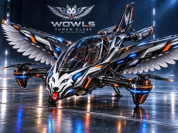
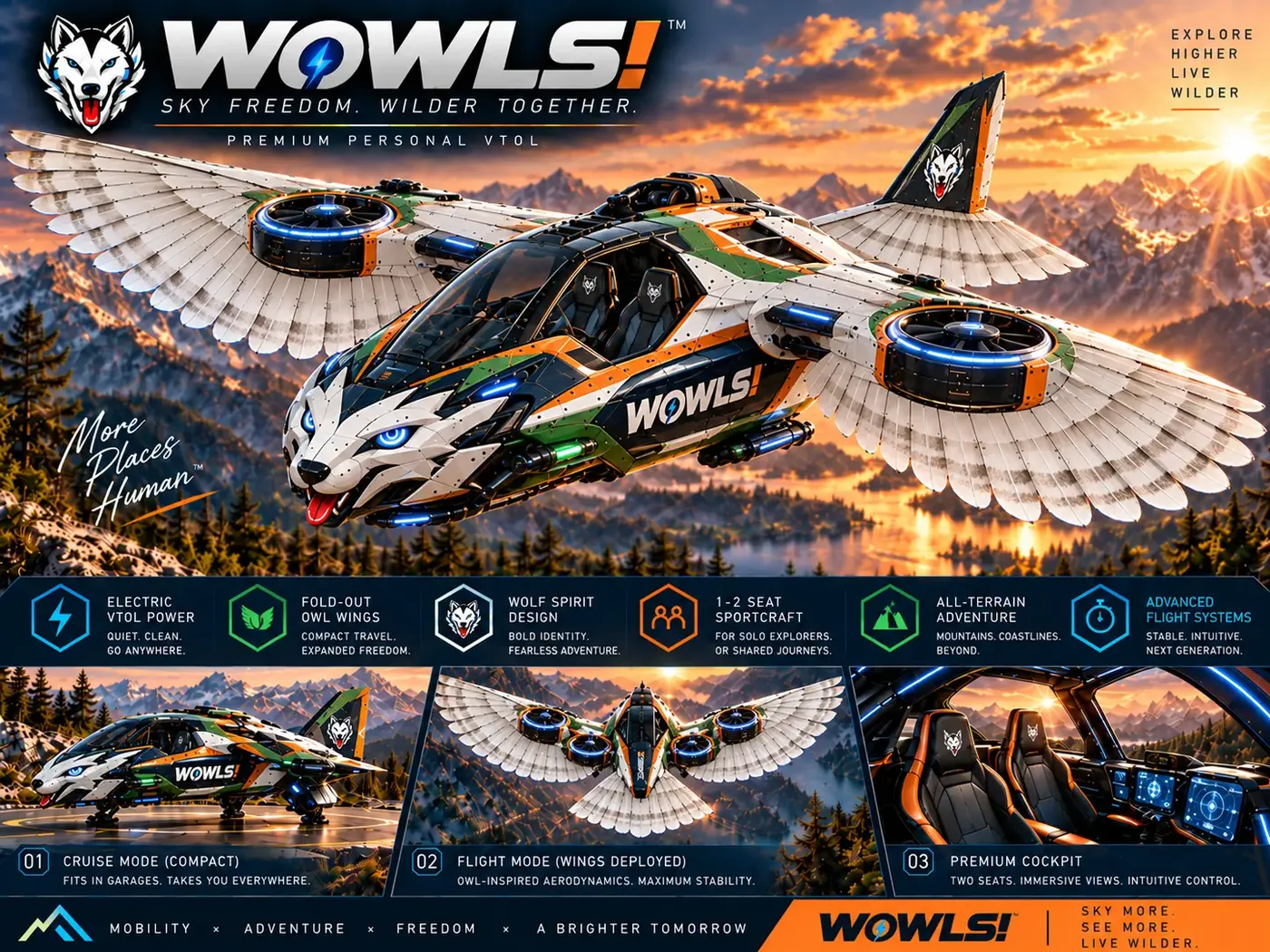
WOWLS explores personal flight through its Tumen-Class Interceptor VTOL concept on /aero and /vtol. Envisioned around SI-assisted—SuperIntelligence-assisted—operation, it proposes a pilot seat plus two rear seats within a broader Sovereign Travel & Housing Ecosystem. Its drop-tank concept draws inspiration from Genghis Khan’s 1219 three-horse relay strategy. These are design intentions, not demonstrated autonomous navigation or certified aircraft capabilities.
Drone autonomy offers a useful technical lens for that vision, but passenger-carrying VTOL raises different assurance, redundancy, and certification demands. Hypersonic flight introduces another operating regime; capability in one does not establish readiness in another. Explore the WOWLS aerospace direction at /aero, then register interest through /contact. WOWLS is presenting an aerospace concept—not flight operations, aircraft seats, or an available navigation product.
How do I choose an autonomous drone navigation system for commercial use?
Start with the mission environment, not the AI label. Specify whether flights occur indoors, near structures, without reliable satellite positioning, or alongside other drones. Compare demonstrated localization, obstacle avoidance, fault recovery, and operator controls under those conditions. For swarms, examine lost-link behavior and local collision avoidance. Budget for integration, testing, support, and operational permissions as well as hardware. A representative pilot project with agreed acceptance criteria is more informative than an impressive demonstration in ideal conditions.