
// AUTONOMOUS & SWARM DRONES
Autonomous Drone Computer Vision: Systems, Costs & Choices
For buyers exploring autonomous drone computer vision, the central question is not whether an aircraft can recognize an object. It is whether it can turn imperfect images into dependable flight decisions, within its power budget and operating environment. Inspection drones, coordinated fleets and passenger-carrying VTOL concepts face very different versions of that challenge.
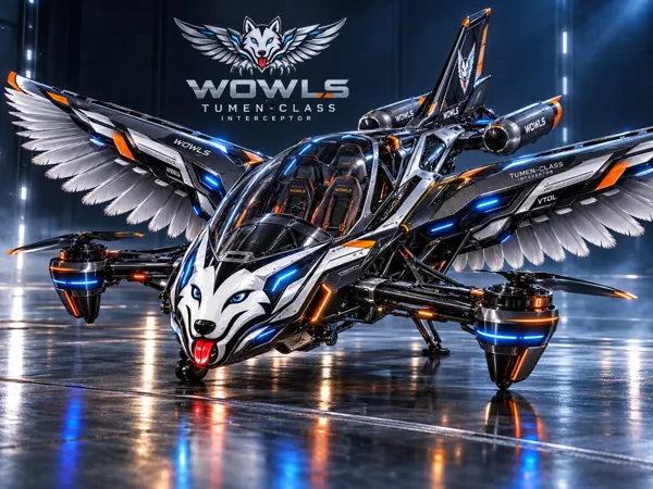
A useful commercial comparison starts with the mission: following infrastructure, navigating without reliable satellite positioning, identifying landing areas or maintaining separation from other aircraft. Each demands different cameras, computing hardware and validation. WOWLS approaches this frontier through its Tumen-Class Interceptor VTOL concept: an exploration of personal, SI-assisted flight—not an aircraft currently available for passenger service.
How Autonomous Drone Computer Vision Works
The pipeline begins with cameras capturing the surrounding scene. Software detects features, estimates depth or motion, and identifies relevant objects. Visual odometry estimates movement between frames; visual-inertial odometry combines imagery with inertial measurements. Simultaneous localization and mapping, or SLAM, builds a map while estimating the aircraft’s position within it.
Perception is only one layer. A planner selects a route or avoidance maneuver, while the flight controller translates that decision into aircraft motion. A convincing detection demo therefore does not prove autonomous flight capability. Ask how the system handles uncertain observations, delayed processing and disagreement between sensors—and what happens when confidence falls below its operating threshold.
Match the Sensors to the Mission
A single RGB camera offers low weight and accessible hardware, but estimating absolute distance can be difficult without additional information. Stereo cameras add depth cues, although performance depends on camera spacing, calibration, lighting and surface texture. Thermal imaging can help find heat signatures at night, but it is not a universal substitute for geometric sensing.
For close inspection or obstacle avoidance, lidar or radar may complement cameras. Global-shutter cameras can reduce motion distortion; synchronized timestamps help align imagery with inertial data. Buyers should request demonstrations against their actual hazards: thin wires, reflective surfaces, repetitive structures, deep shadows or featureless terrain. A system trained around buildings may struggle over water or snow.
Onboard Compute, Integration and Real Costs
Flight-critical perception generally benefits from onboard processing because radio links can degrade or disappear. Compare complete processing latency, not just advertised model speed. Image capture, data transfer, inference, mapping and planning all consume time. Power draw and cooling also matter: a fast processor that overheats or drains the battery can undermine the mission.
Typical industry budgeting ranges run from several hundred to a few thousand dollars for development-grade cameras and embedded AI computing, before the airframe and engineering. Ruggedized multisensor packages can reach several thousand to tens of thousands of dollars. These are broad planning ranges, not WOWLS prices. Integration, data collection, testing and support can exceed the initial hardware bill.
For commercial procurement, distinguish a developer kit from a deployable system. Ask which software interfaces, calibration tools and update mechanisms are included. Compare quotes against the same mission scope; a low hardware price can conceal substantial engineering work.
Swarm Autonomy Needs More Than Shared Video
A swarm needs more than multiple drones running identical vision models. Aircraft must maintain separation, coordinate tasks and handle failures without assuming perfect connectivity. Sharing compact position estimates, mapped features or task assignments may be more practical than transmitting every camera stream. Local collision avoidance should not depend entirely on a central connection.
Request evidence of behavior under communication loss, positioning drift and individual-aircraft failure. Simulation helps explore these conditions, but controlled flight testing remains essential. Also separate technical capability from operating permission: beyond-visual-line-of-sight operations and multi-aircraft supervision may require approvals. Better perception does not automatically authorize a more ambitious mission.
Where WOWLS Takes the Aerospace Idea
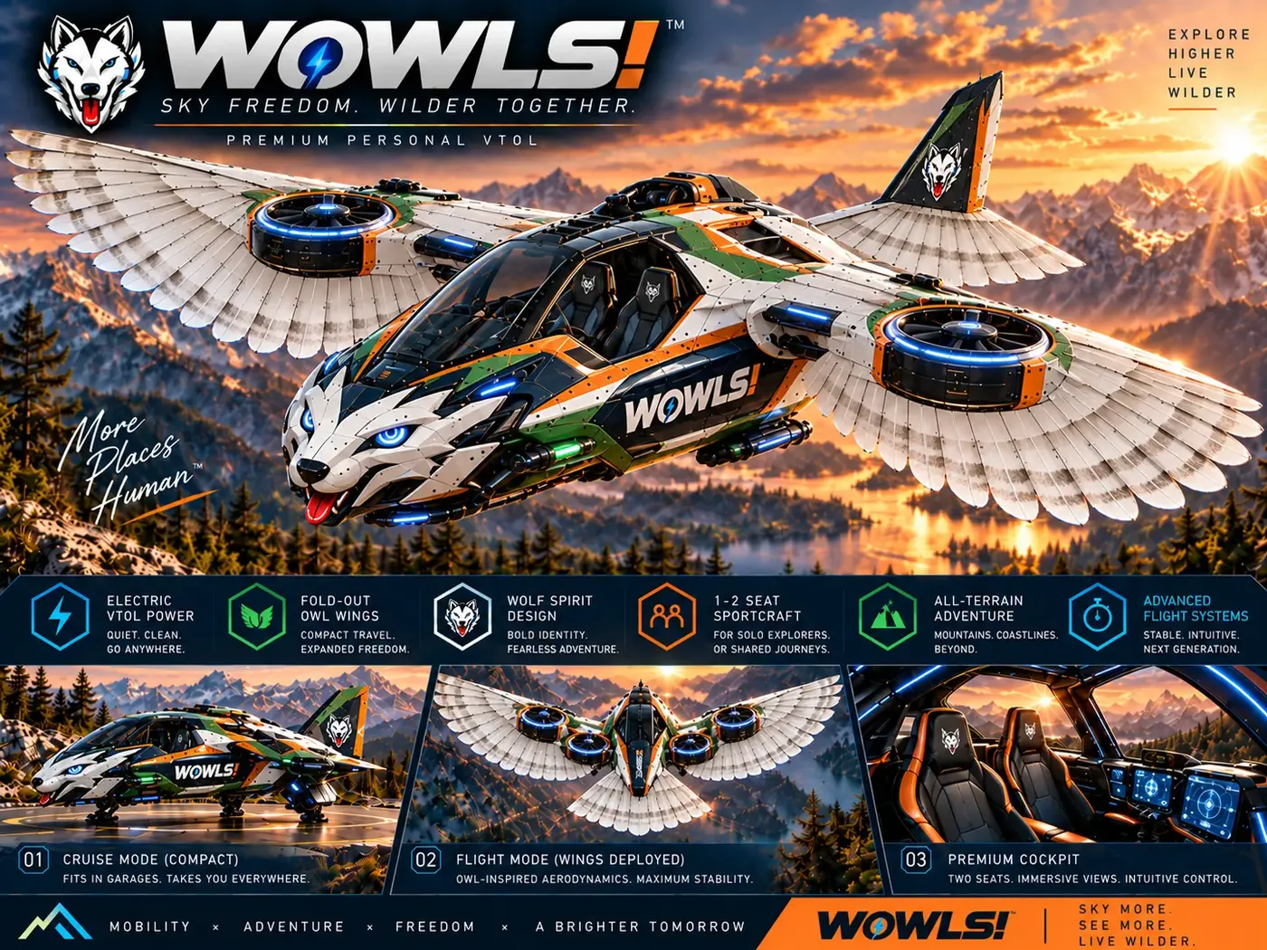
The WOWLS Tumen-Class Interceptor VTOL concept proposes a pilot position plus two rear seats within a broader Sovereign Travel & Housing Ecosystem. Its SI-assisted positioning describes a design ambition, not a demonstrated computer-vision architecture or certified autonomy capability. Explore /aero for the aerospace direction and /vtol for the aircraft concept.
Computer vision relevant to small drones cannot simply be scaled into passenger flight—or hypersonic flight—without fundamentally different engineering and validation. WOWLS offers a place to follow that future-facing design conversation, rather than a shortcut around those demands. Register interest through /contact; anyone assessing a future technical partnership should request a defined mission, architecture and evidence roadmap.
What should I ask before buying an autonomous drone computer vision system?
Start with the exact task and environment, then request representative flight evidence—not only object-detection footage. Confirm sensor coverage, end-to-end latency, onboard power requirements and behavior when cameras or communications fail. Ask whether the quote includes calibration, integration, software updates and support. For swarm applications, examine separation logic and degraded-connectivity behavior. Finally, distinguish development hardware from validated operational capability, and check the permissions your intended flights require. WOWLS aerospace offerings remain concepts for which you can register interest.