
// AUTONOMOUS & SWARM DRONES
Autonomous Drone Applications: From Inspection to Swarms
The strongest autonomous drone applications solve a repeatable problem: inspect the same infrastructure, map changing terrain, locate a hazard or move a small payload without exposing people to unnecessary risk. For commercial buyers, the question is not whether a drone can fly itself. It is whether the complete operation delivers reliable, usable results at an acceptable.
That distinction matters across AI aerospace. A programmed survey drone, a coordinated swarm and a passenger-carrying VTOL face very different technical and regulatory demands. Start with the mission, then choose the aircraft, sensing stack and level of human oversight. Autonomy is an operating capability—not a shortcut around aviation rules.
Where autonomous drone applications earn their place
Infrastructure inspection is a strong starting point. Cameras and thermal sensors can document damaged roof surfaces, abnormal equipment temperatures or changes along a power corridor. Repeatable flight paths make comparisons easier, but a detected anomaly still needs interpretation. Thermal readings, for example, depend on conditions and should not automatically become maintenance orders.
Mapping, construction monitoring and stockpile measurement turn aerial imagery into site records and measurable surfaces. Agriculture adds crop scouting and targeted observations; emergency response adds reconnaissance before crews enter dangerous terrain. Delivery can be valuable where routes and landing areas are controlled, but payload, weather, noise and permissions often constrain the business case more than navigation software.
Autonomy Is a Stack, Not a Switch
A useful system combines localization, perception, planning and flight control. Satellite positioning may guide an outdoor survey; cameras, inertial sensors or lidar can help when positioning degrades. Onboard processing reduces dependence on a continuous network connection, while fleet software assigns missions and organizes the resulting data.
The operational details separate a demonstration from a dependable service. What happens when a sensor fails, a landing zone becomes occupied or communications disappear? A suitable response might be holding position, returning to a verified recovery site or landing in a designated area. Ask vendors to demonstrate these behaviors within documented conditions, rather than accepting a broad claim of full autonomy.
Swarm Coordination Without the Science Fiction
Multiple drones flying simultaneously do not necessarily constitute a swarm. A coordinated system may share task assignments, maintain separation and redistribute work when an aircraft leaves the mission. Control can be centralized or distributed; each architecture creates different trade-offs in communications, resilience and complexity.
For commercial work, the appeal is parallel coverage: several aircraft can inspect separate assets or search assigned areas. The complication is that more aircraft introduce more interactions, charging needs and airspace-management demands. Buyers should examine how the system handles lost links and positioning errors, and whether the operator is authorized to supervise the proposed number of aircraft. A well-run single-drone workflow can outperform an unnecessarily elaborate fleet.
Budget for the Operation, Not Just the Aircraft
As broad industry planning ranges, commercial mapping and inspection aircraft packages often run from a few thousand to tens of thousands of dollars. Specialized sensors, automated docking equipment and enterprise integrations can push a deployment into six figures. These are indicative category ranges, not WOWLS prices or a substitute for a mission-specific quote.
Recurring costs include software, batteries, maintenance, training, insurance and data review. Compare cost per completed inspection or usable survey—not merely airtime. Before scaling, run a limited pilot against your existing process. Measure rework, image quality, turnaround time and how often people must intervene. Confirm data ownership and export formats, especially when inspection records must feed an established maintenance system.
The WOWLS Aerospace Horizon
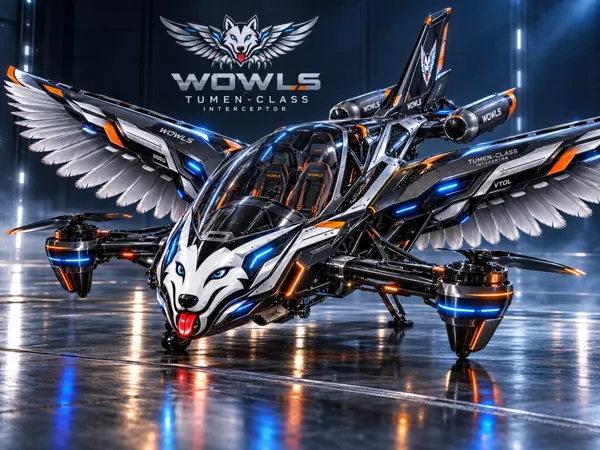
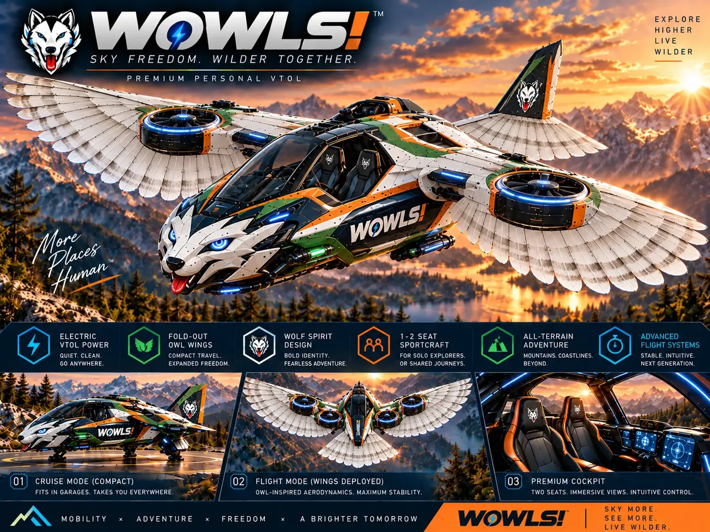
WOWLS approaches this frontier through its Tumen-Class Interceptor VTOL concept on /aero: a proposed personal SI-assisted aircraft, with SI meaning SuperIntelligence, configured for a pilot and two rear passengers. Its drop-tank idea draws inspiration from Genghis Khan’s 1219 three-horse relay strategy. It is a vision within a Sovereign Travel & Housing Ecosystem, not an available flight service or certified aircraft.
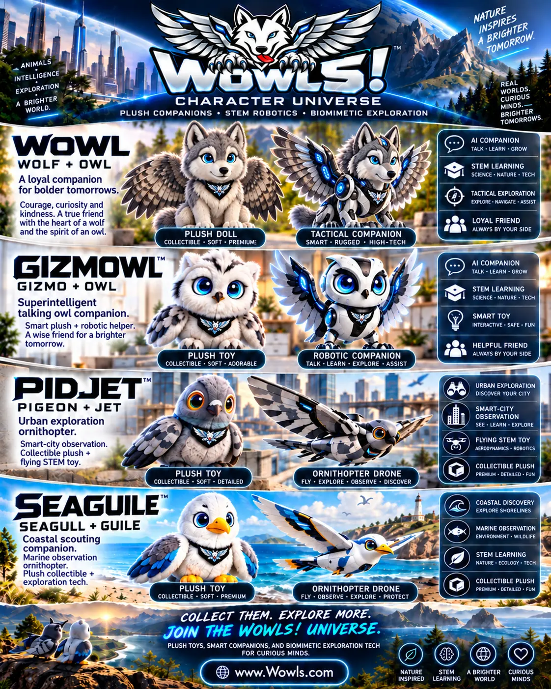
The connection to drone autonomy is architectural: sensing, decision support and human-machine coordination. Passenger flight nevertheless demands its own safety case; a successful drone mission does not establish readiness for carrying people. Explore /aero and /vtol, then register interest through /contact. For an educational angle, /char introduces proposed biomimetic flapping-wing STEM drone companions designed around aerodynamics and robotics.
Which autonomous drone application is best for a business starting out?
Start with a repeatable, bounded task such as roof inspection, construction mapping or stockpile surveying. Choose a mission with clear deliverables, manageable airspace and an existing process you can compare against. A supervised single-aircraft deployment is usually easier to validate than a swarm or delivery network. Request a demonstration under your actual operating conditions, confirm local permissions and calculate the full cost of producing usable results. Expand only when the pilot shows consistent data quality and manageable human intervention.