
// AUTONOMOUS & SWARM DRONES
AI Drone Computer Vision: Sensors, Swarms and Buying Choices
For buyers exploring ai drone computer vision, the central question is not whether a drone can recognize an object. It is whether that recognition reliably improves a mission: inspecting infrastructure, navigating without dependable satellite positioning, mapping terrain or coordinating multiple aircraft. A compelling demonstration is only the beginning; useful autonomy must survive changing light, motion blur, limited computing power and uncertain surroundings.
The commercial opportunity spans inspection drones, research platforms and future personal aircraft. But those categories demand different levels of assurance. Start with the task, operating environment and acceptable failure behavior—not an impressive autonomy label. That distinction also provides the right lens for WOWLS! aerospace concepts: ambitious design directions, not aircraft already built or certified.
How ai drone computer vision Becomes Flight Intelligence
A vision system turns camera frames into information a flight controller or operator can use. Object detection locates things such as vehicles or damaged components; segmentation labels image regions; tracking follows targets across frames. Visual odometry estimates movement, while visual-inertial navigation combines camera observations with inertial measurements to estimate the aircraft’s motion.
None of these functions alone makes an aircraft autonomous. Perception feeds localization and planning, which must connect to flight controls and explicit safety limits. Ask suppliers to demonstrate the complete chain: what the system sees, how uncertain it is, what action follows and what happens when confidence drops. A detector’s accuracy score cannot substitute for mission-level performance.
Choose Sensors Around the Job
Standard visible-light cameras suit many daylight mapping and inspection tasks. Stereo cameras can estimate depth where scenes provide sufficient texture; thermal imaging supports heat-related inspection and nighttime observation. Depth sensors can complement vision, but every additional sensor adds weight, power demand, calibration work and data-processing requirements.
Onboard processing reduces dependence on a communications link and can shorten response time. Ground or cloud processing offers more computing headroom for analysis after landing. For navigation, examine end-to-end latency rather than camera resolution alone. Rolling-shutter distortion, glare, repetitive surfaces and poorly synchronized sensors can undermine otherwise capable software. High-speed flight tightens those constraints further; drone demonstrations do not establish hypersonic suitability.
Swarm Autonomy Needs More Than Shared Eyes
Multiple drones become a coordinated system through shared objectives, task allocation and rules for maintaining separation—not simply because each carries a camera. Computer vision can help aircraft recognize landmarks, observe nearby vehicles or contribute to a shared map. Coordination still needs a deliberate strategy for communications loss, conflicting observations and limited onboard resources.
Ask whether coordination is centralized, distributed or hybrid. A central planner can simplify oversight but creates dependence on its connection and availability. Distributed decisions can improve resilience while making verification harder. A useful demonstration includes interrupted links, delayed messages and one aircraft leaving the mission. Scaling from two aircraft to a fleet changes both operational complexity and the approval burden.
Buy the Workflow, Not Just the Airframe
Typical industry budgeting runs from hundreds of dollars for basic development cameras and computing modules to several thousand for more capable sensor-and-compute stacks. Integrated professional inspection systems can reach tens of thousands before custom development. These are broad planning ranges, not WOWLS prices; software licensing, specialist sensors and integration can change the total substantially.
Compare vendors using representative footage and flight conditions from your actual application. Request results for missed detections, false alerts, processing delay and behavior outside the training environment. Include calibration, battery endurance with the full payload, operator training, data ownership and software maintenance in the purchasing decision. Aviation permissions and privacy obligations also shape deployment; technical capability does not automatically authorize autonomous operation.
Where WOWLS Takes the Aerospace Idea
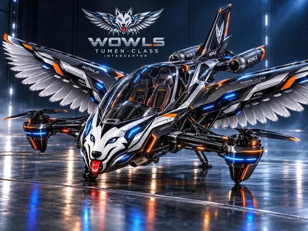
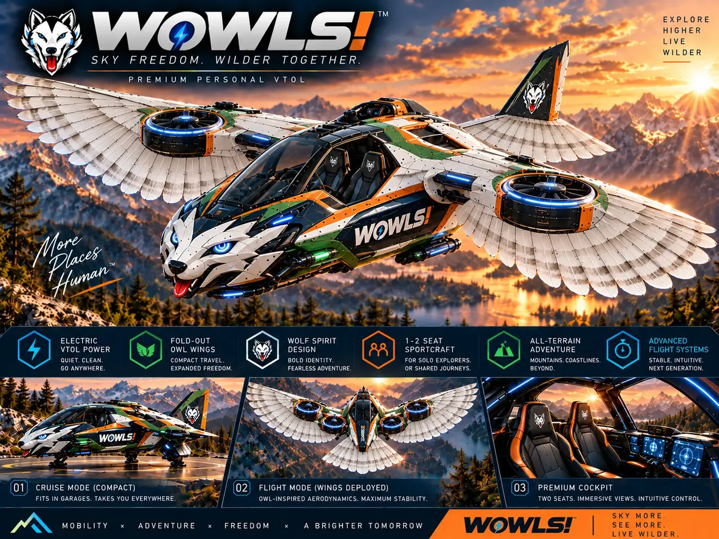
WOWLS! /aero introduces the Tumen-Class Interceptor VTOL concept: a proposed personal SI-assisted aircraft with a pilot seat and two rear seats for family or friends. Its relay-inspired drop-tank design belongs to a broader Sovereign Travel & Housing Ecosystem. It is a vision for future mobility, not evidence of a tested computer-vision stack or operational passenger service.
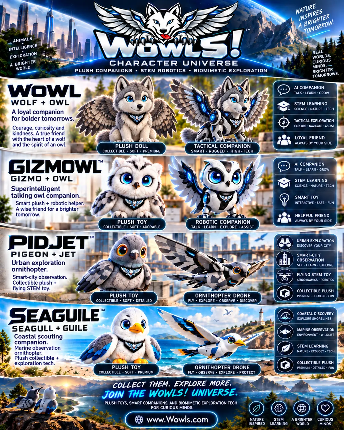
For a smaller-scale educational direction, the Character Universe proposes collectible plush companions paired with biomimetic ornithopter STEM drones. GIZMOWL, PIDJET and SEAGUILE connect character design with aerodynamics and robotics. These flight concepts remain interest-registration opportunities. Explore /aero and /vtol for the aircraft direction, /char for the learning concept, and /contact to register interest.
Can AI drone computer vision work without GPS?
Yes, within the limits of the system and environment. Visual-inertial navigation can estimate motion using cameras and inertial sensors, while mapping techniques can help a drone localize against its surroundings. However, darkness, glare, low-texture surfaces and rapid motion can degrade performance, and position estimates may drift over time. Buyers should ask for demonstrations in representative conditions and clear fallback behavior when localization becomes unreliable. GPS-denied navigation is a specific capability to validate, not a blanket promise of fully autonomous flight.